

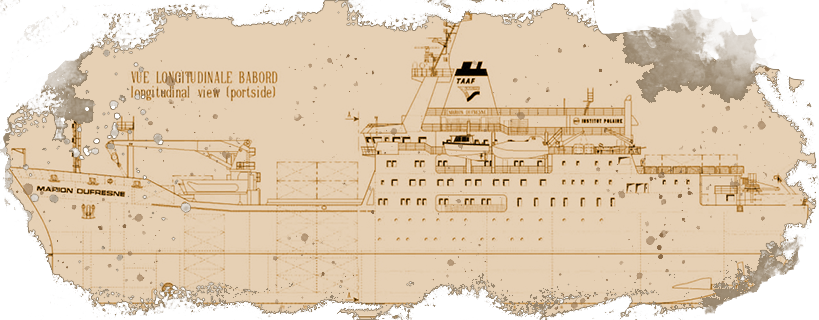
MARION DUFRESNE
ATMOSPHERIC
PROGRAM
INDIAN
OCEAN
[OBJECTIVE] [LAST MISSION] [SECTIONS] [DATA ACCESS]
 French Version
Our aim
The aim of MAP-IO is to study atmospheric composition and ocean-atmosphere processes with an impact on regional climate and numerical weather prediction.
This scientific program is based on the banking of oceanic and atmospheric data by equipping the Marion Dufresne vessel with 19 permanent, autonomous atmospheric measurement systems.
The MAPIO project is described in detail in a dossier that has been submitted to the Commission Nationale de la Flotte Hauturière (CNFH) for approval. This file can be dowloaded here and in December 2019, the CNFH issued a very favorable opinion and classified the MAP-IO request as Priority 1. This classification is valid for the realization of one campaign per year for 4 years (2021-2024). You can read the minutes of the CNFH's opinion here. here
Next or current mission
OP2 2024 (August 10 to September 9, 2024)
Under TAAF charter, the Marion Dufresne mainly carries out rotations to the Austral Islands. These rotations are called Opérations Portuaires (OP) and take place on average 4 times a year. The main objectives of these OPs are:
➢ the succession of scientific and technical staff
➢ supplying bases with food, diesel and materials for building sites
➢ support for technical, scientific and conservation activities in local areas
You can consult the provisional calendar of missions here
Data Access
AERIS DATA
AERIS, the hub for atmospheric data and services to users, via the link https://www.aeris-data.fr/catalogue-map-io/ an access to the following data of the MAPIO's program:
➢ All sky camera
➢ Aerosol total number (CPC)
➢ Aerosols size distribution (SMPS, OPC)
➢ Gaz trace (CO, CH4, CO2, O3, NOx)
➢ Integrated water content (GNSS)
➢ Meteorological stations
➢ Integrated 03, NO2 (mini-SAOZ)
SEANOE
SEANOE (Sea scieNtific Open data Edition) is a vast directory of marine sciences. It proposes access to different data coming from the MAPIO program via the link: https://www.seanoe.org/data/00783/89505.
AERONET and University of Lille
AERONET, the programme that federates aerosol measurement networks and the University of Lille are making various series of on-board photometer measurements available to users via the following links:
➢ https://aeronet.gsfc.nasa.gov.
➢ mobile.photons.univ-lille.fr.